Traffic Surveys • Transportation Analytics • Drone Intelligence

Every
Movement.
Mapped.
Mastered.

WeTraceUniversal converts complex traffic movement into clean, decision-ready intelligence — counts, classifications, and rapid reporting built for consultants, planners, and public authorities.

48H
Delivery
99%
Accuracy
10K+
Hrs Analyzed
500+
Projects
Live Feed
Junction · MG Road
1,480
Peak veh/hr
Capacity74%
Queue Length38m
TMC
Turns
Q
Queue
P/B
Ped/Bike
About WeTraceUniversal

Data-Driven Traffic Intelligence
for Modern Cities

We leverage structured data extraction, automated classification frameworks, and multi-layer quality validation to deliver scalable, high-accuracy traffic intelligence — tailored for consultants, urban planners, and public authorities.

Advanced video analysis workflows with AI-assisted tagging
48-hour fast-track delivery on all standard surveys
Scalable junction and corridor studies across any terrain
Clean, auditable reporting for consultants and authorities
Our Approach

We combine structured classification, multi-modal counting, and QA validation layers to ensure precise outputs aligned with your project objectives — every time.

99%
Accuracy Rate
500+
Projects
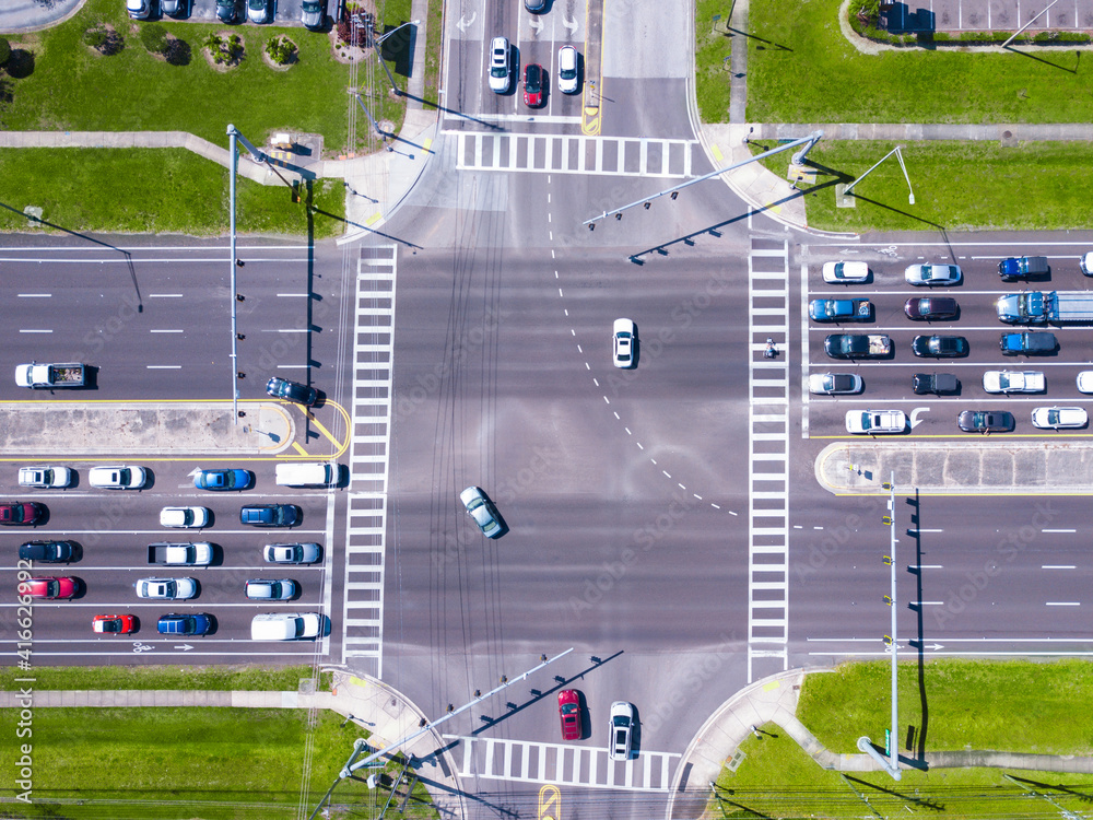
Aerial top-down road intersection with vehicles Aerial View
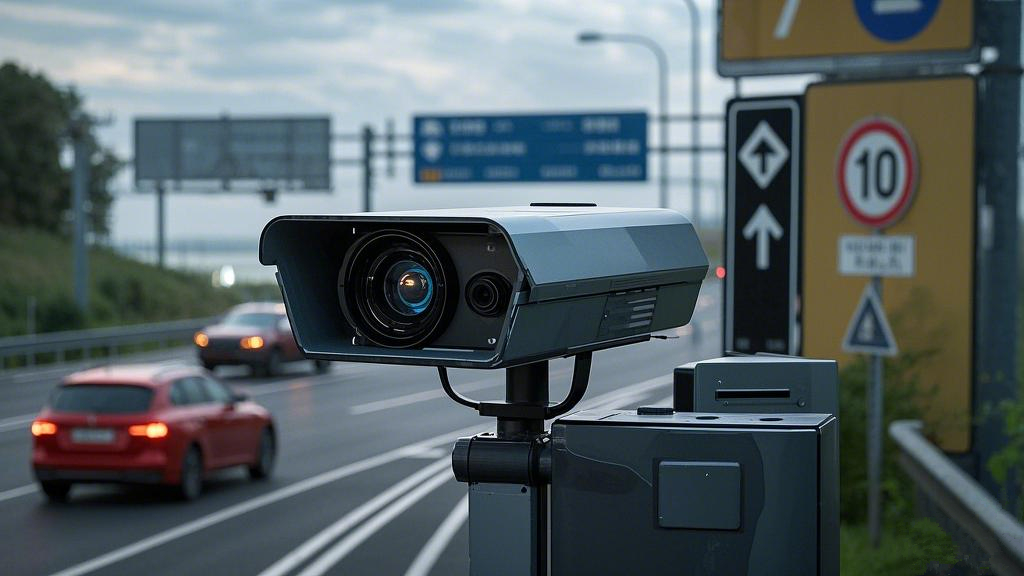
Traffic surveillance camera monitoring junction Video Survey
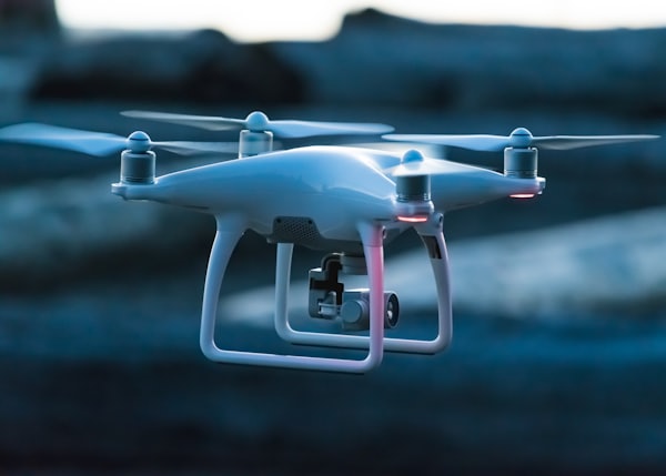
Drone aerial survey over road Drone Survey
Services

Built for
Real-World Flow

Output: Clean datasets + reports
Method: Video & Drone

Modular survey packages for consultants, authorities, and infrastructure teams — tailored to your junctions, corridors, and timelines.

Aerial top-down signalised intersection turning movement count 01

Turning Movement Counts (TMC)

Approach-by-approach turning movement volumes with peak hour and time-sliced analysis for signal optimisation and capacity assessment.

Signal Optimisation
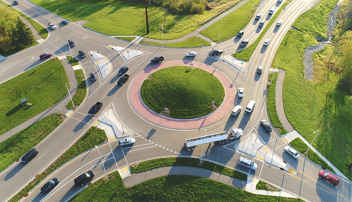
Aerial roundabout with vehicles circulating junction analysis 02

Junction & Roundabout Analysis

Detailed entry, circulation, and exit flow analysis for intersections, roundabouts, and complex junction nodes.

Junction Study
Multi-lane highway directional vehicle flow link count corridor 03

Link Counts

Directional traffic volume counts across corridors to support planning, modelling, and signal timing optimisation.

Corridor Analysis
Bumper to bumper vehicle queue congestion at traffic signal queue length analysis 04

Queue Length Analysis

Maximum, average, and 95th percentile queue length measurements with peak build-up and dissipation pattern analysis.

Congestion Study
Aerial view parking lot rows parked vehicles occupancy survey 05

Parking Surveys

On-street and off-street occupancy, turnover rates, and duration of stay analysis aligned with defined study boundaries.

Parking Analytics
Pedestrians crossing zebra crossing cyclists multi-modal count survey 06

Pedestrian & Bicycle Counts

Multi-modal pedestrian and bicycle volume counts with directional distribution and peak period analysis.

Active Travel
Traffic enforcement surveillance camera capturing illegal movements violations 07

Illegal Traffic Movement Study

Identification and tagging of prohibited turns, wrong-way movements, signal violations, and compliance patterns.

Compliance Audit
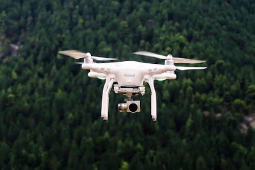
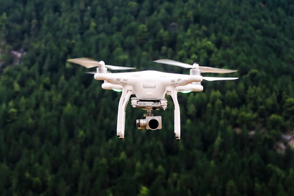
Professional survey drone in flight aerial traffic data capture 08

Drone Surveys

High-resolution aerial traffic data capture for complex sites — enabling wide coverage, traceability, and movement validation.

Aerial Intelligence
Vehicles travelling along corridor for speed and travel time survey 09

Speed & Travel Time Surveys

Corridor-level journey time, average speed, and delay analysis — identifying bottlenecks and informing signal coordination and route planning.

Journey Analysis
Proof at Scale

Numbers That
Speak for Us

Aerial night city highway interchange illuminated
Scale

Designed for
High-Volume Studies

0 Hours of Video Analyzed And counting
0 Junctions Surveyed Across India
0 Classification Accuracy QA Validated
0 Standard Delivery Time Fast track available
Workflow

From Capture
to Clarity

A streamlined workflow that keeps your data consistent, auditable, and ready for decision-making at every step.

Drone deployment for traffic data collection
01

Data Collection

Site-ready plans for camera and drone placement with capture windows aligned to study objectives and peak periods.

Analyst reviewing video footage on monitoring screens
02

Video Analysis

High-throughput review with AI-assisted tagging and systematic quality checkpoints across every survey hour.

Data classification spreadsheet vehicle counts
03

Data Classification

Vehicle classes, movement directions, and time intervals structured to precisely match your reporting format.

Traffic report delivery charts and data summary
04

Report Delivery

Clear outputs: spreadsheets, visual summaries, charts, and methodology notes — ready for immediate client approval.

Why WeTraceUniversal

Your Data.
Our Precision.

Aerial view of city highway at night for traffic survey Trusted by Urban Planners

We built WeTraceUniversal for professionals who can't afford errors — transport consultants, city planners, and infrastructure authorities who need data they can trust on day one.

Start a Project

48-Hour Turnaround

Standard survey results in 48 hours. Priority delivery available for urgent project deadlines.

Fast Track
🎯

99% Accuracy Guarantee

Triple-layer QA review ensures every count, class, and movement is verified before delivery.

QA Certified
📡

Drone-Enabled Coverage

Complex sites, wide corridors, and rural intersections covered with high-res aerial capture.

Aerial Surveys
📊

Consultant-Ready Reports

All outputs formatted to plug directly into your planning models and approval documentation.

Report Ready
Busy urban road Bengaluru India traffic survey
Get in Touch

Let's Map
Your Next Project

Whether it's a single junction or a city-wide corridor study, our team is ready to scope, plan, and deliver — fast.

📞
Phone
+91 8217461773
📧
Email
wetraceuniversal@gmail.com
💼
📍
Office Address
WeTraceUniversal,
Bengaluru, Karnataka, India
Start a Survey